BigDataCube
Public-Private EO Datacube Partnership
Goal of BigDataCube was to enhance access to value-adding services supporting collaboration across disciplinary and geographical boundaries for industry and research. The massively simplified Big Data handling benefits users of existing services as well as new businesses, e.g., in agro-informatics: they don't need to develop or deploy complex technology and manage all data, but can use data readily, thereby freeing resources for their core business. Hence, on the BigDataCube platform novel, specialized services can be established by third parties in a fast, flexible, and scalable manner.
Concretely, the project deploys the European Datacube engine, rasdaman, in two infrastructures:
- The commercial hosted processing environment of cloudeo. Novel datacube access control and quota will safely handle both free and proprietary data provided by Intermap and PlanetObserver.
- The public datacube service of CODE-DE, the German Copernicus hub, thereby complementing the batch-oriented Hadoop service with interactive extraction and processing along the paradigm of "any query, any time, on any size". DLR Bremen has established a sea wind and waves datacube.
CODE-DE and cloudeo services have been federated, allowing users to combine datacubes from both paid and free services without the need for downloading them first.
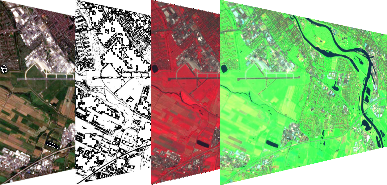
On-the-fly product extraction from CODE-DE datacubes |
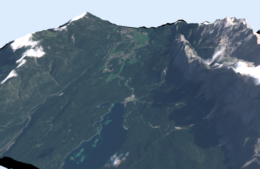
Federation query combining Sentinel-2 RGB (CODE-DE) with a DEM (cloudeo), displayed in a WebGL client |
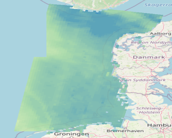
Ocean wind speed product by DLR Bremen |
Contact: